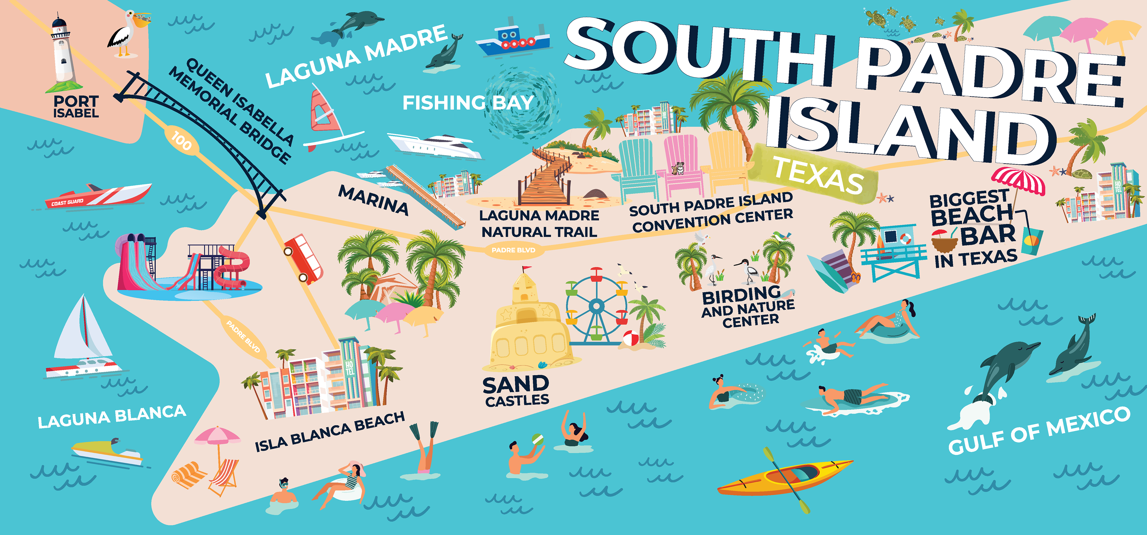
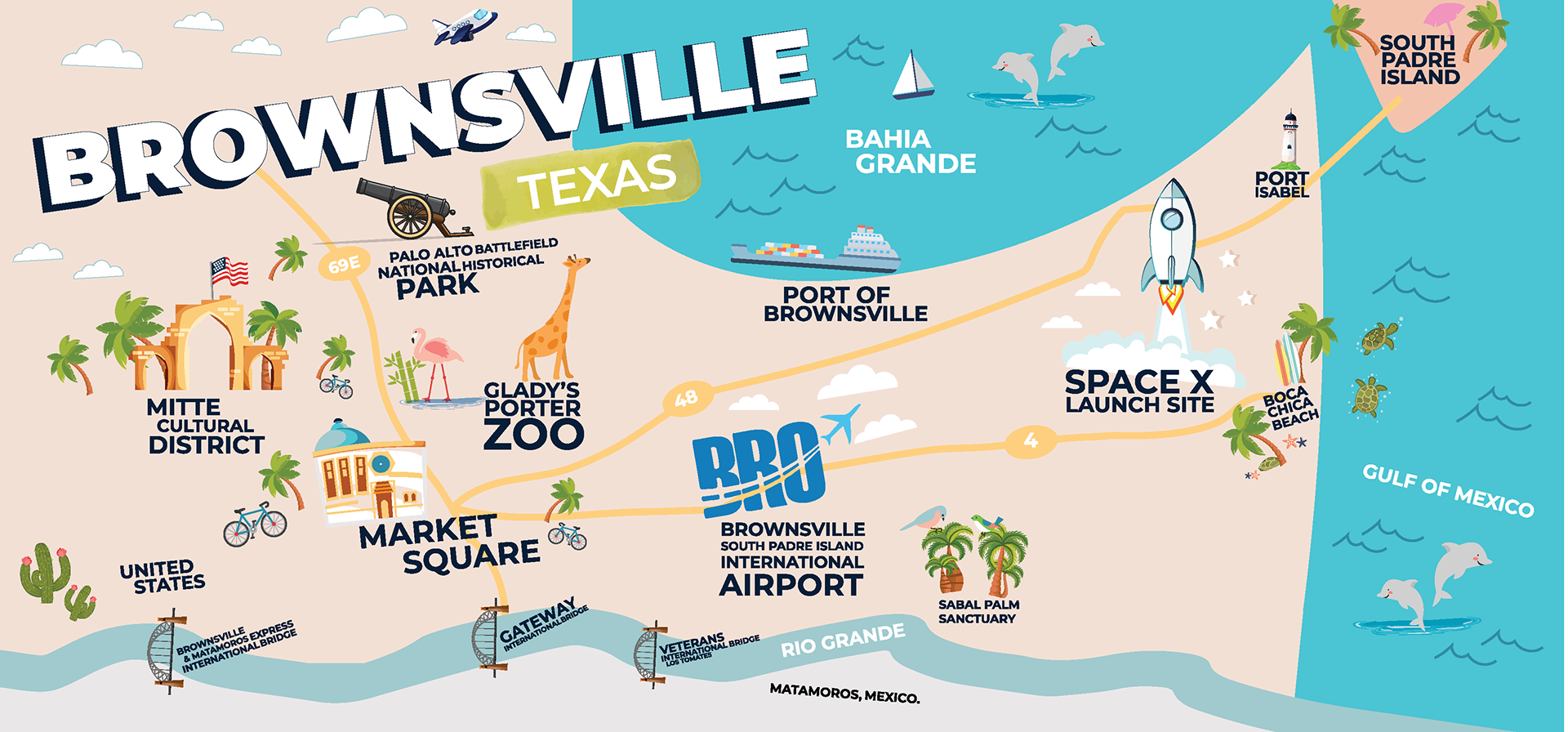
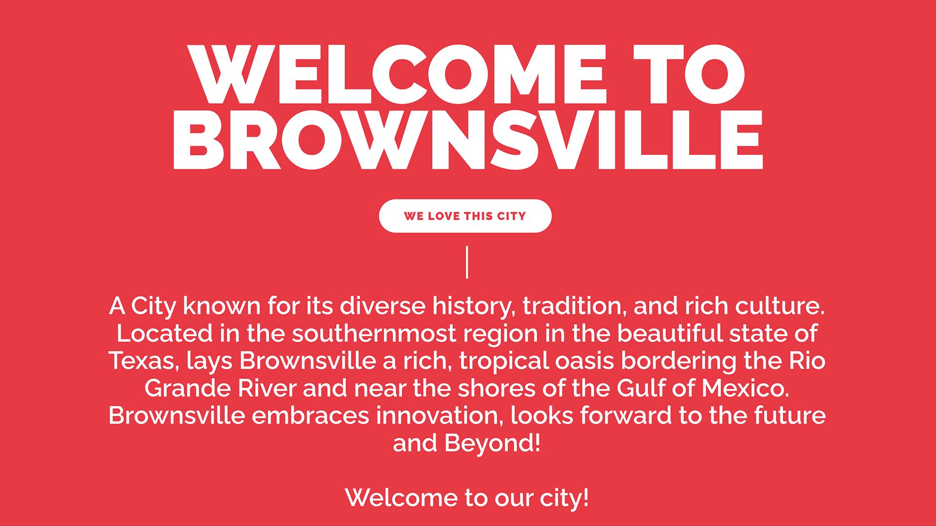
Commissioned by the City of Brownsville Tourism Marketing Department, this project transforms the airport into an immersive introduction to place through a pair of large-scale illustrated map murals at Brownsville/South Padre Island International Airport. The murals use bold color, playful iconography, and simplified geography to create an approachable, human-centered wayfinding experience that orients travelers while sparking curiosity about the region.
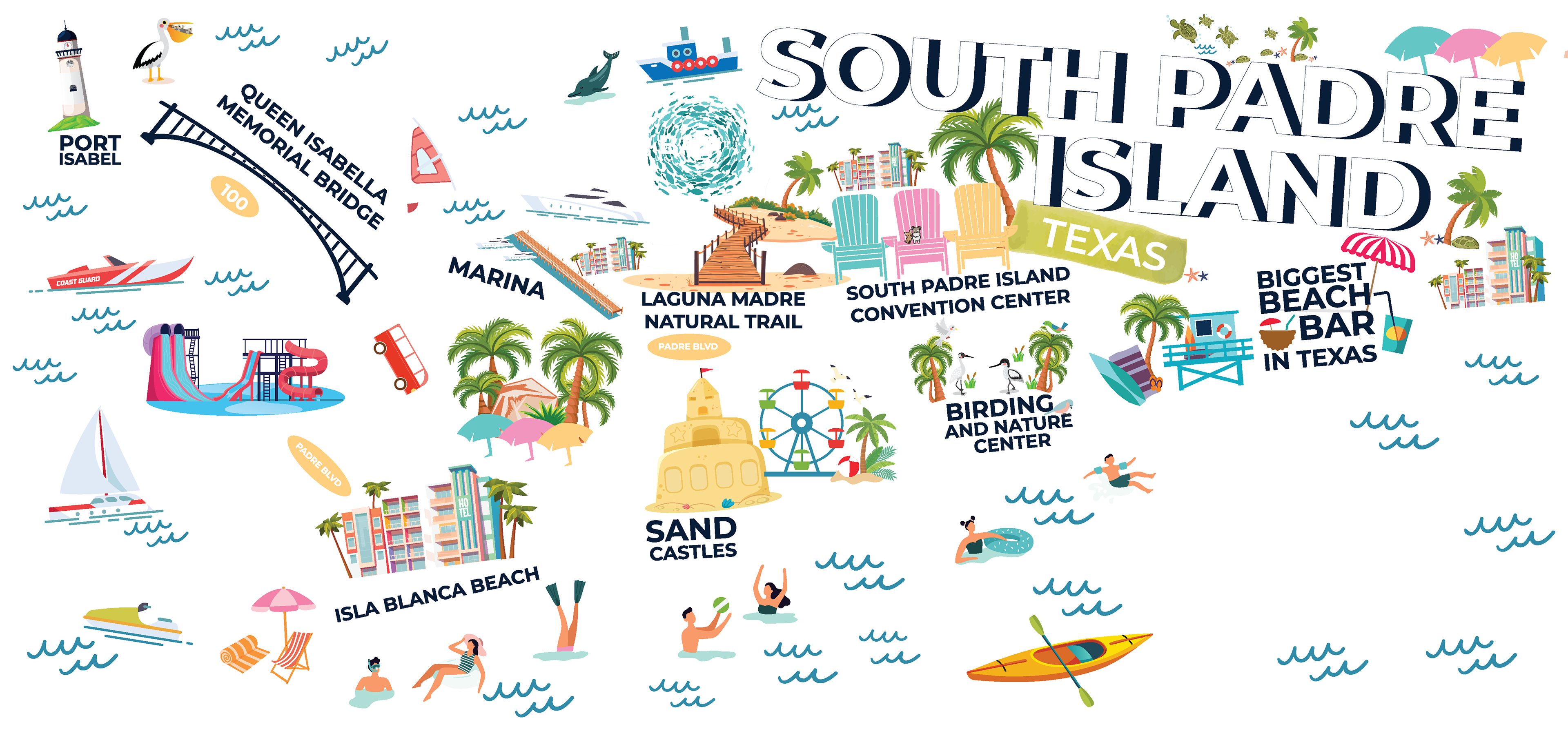
Visually, the murals are rendered in a flat, contemporary illustration style with clean vector forms, rounded shapes, and a vibrant yet cohesive color palette inspired by the Gulf Coast landscape—turquoise waters, sandy neutrals, sun-warmed yellows, and lush greens. Landmarks are depicted as friendly, recognizable icons rather than literal representations, allowing culture, history, and tourism to coexist within a single visual system. Whimsical details—such as wildlife, transportation, and local activities—add moments of delight while reinforcing regional identity.
The first mural highlights Brownsville, Texas, weaving together cultural districts, historic sites, civic landmarks, and cross-border geography into a clear, legible illustrated map. Following its success, the South Padre Island Tourism Office commissioned a companion mural that extends the visual language to the coast, emphasizing beach culture, marine life, and recreation. Together, the murals function as a unified environmental graphic system—connecting city and island through consistent typography, illustration style, and spatial flow.
This project remains one of my most meaningful experiential works, both for its scale and its visibility in a public gateway. It demonstrates how strong visual storytelling and placemaking can elevate transitional spaces, and how a trusted client relationship can organically lead to expanded scope and continued collaboration.